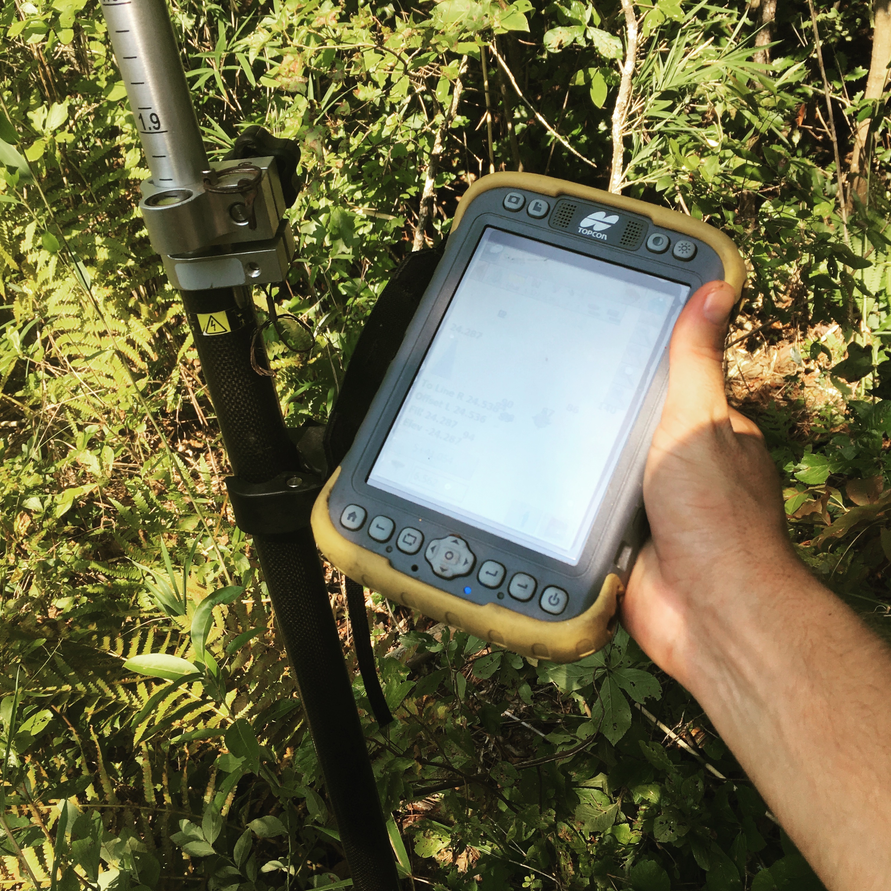
GIS, or Geographical  Information Systems, are an integral part of the forestry business. Though GIS has been around for several years it is just now beginning to gain a lot of traction in the forestry industry. GIS can be used for a myriad of functions in forestry.
Mapping and More with GIS
EVFS uses this powerful software to map property boundaries, stand delineation, riparian zones, drain tiles, waterways, and also for forest inventory purposes.
Utilizing Field Data Collectors
Using field data collectors, we gather the necessary information on the ground and then import the data into a database, creating highly detailed maps which prove extremely useful for landowners, realtors, consultants, and loggers.
Having a detailed map of your forest stands and their current condition is almost as important as having a boundary survey of your property allowing you, the landowner, to make informed decisions for the future.
Take Advantage of the Benefits GIS brings to Managing Your Land
Interested in setting up a meeting to learn more about how we will combine our experience with technology to your advantage?


